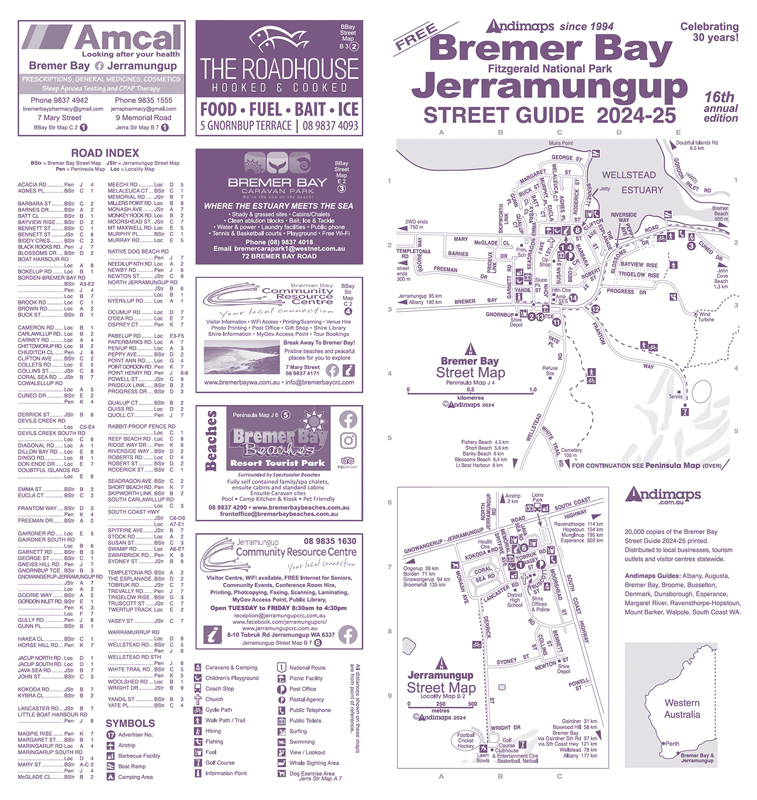
Bremer Bay – Jerramungup
Bremer Bay - Jerramungup Street Guide Annually Since 2009
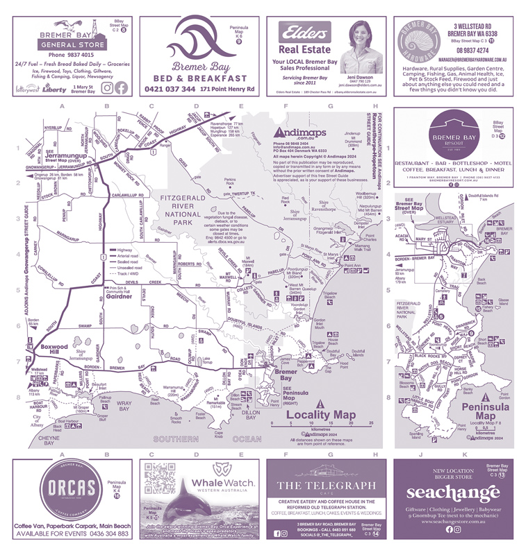
Bremer Bay – Jerramungup Street Maps, Peninsula Map, Locality Map
(includes Fitzgerald National Park area)
Bulk amounts: Local stockist
Bremer Bay Community Resource & Visitor Centre, Mary St, Bremer Bay
Personal copies: Local outlets
Advertisers, accommodation & other local businesses
Personal copies: Statewide
Visitor Centres, roadhouses, tourism operators & attractions
Publication: August
2024-25 Circulation: 20,000
Avenza Maps

Click the button above or scan the QR Code to download free of charge the digital version of Andimaps’ Bremer Bay - Jerramungup Street Guide for use in the Avenza Maps App.

Bremer Bay - Jerramungup Advertising
For further information about rates and distribution for Bremer Bay - Jerramungup Street Guides, email us or download a copy of the booking form below.
Booking forms can be filled online or print, fill and return to Andimaps by:
- scan and email to
or - post to
A booking form returned without your signature will be regarded as a Registration of Interest only.